Geographic Information Systems for Public Policy - Lecture XI
Vector Analysis: Clipping, Dissolve, and Spatial Joins
Sergio Rey
Last Time
- Deterministic Spatial Analysis
- Buffers and Buffering
- Select by Location
- Health Deserts
Today
- Clipping
- Dissolve
- Spatial Joins
Motivation
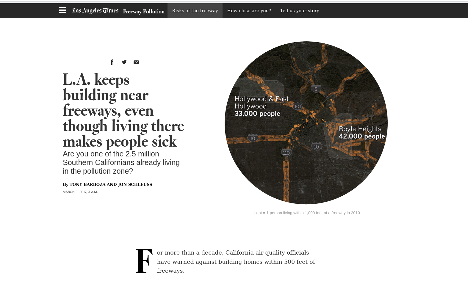
Motivation
More than 1.2 million people already live in high-pollution zones within 500 feet of a Southern California freeway, with more moving in every day. Between 2000 and 2010 — the most recent period available — the population within 500 feet of a Los Angeles freeway grew 3.9%, compared with a rate of 2.6% citywide.
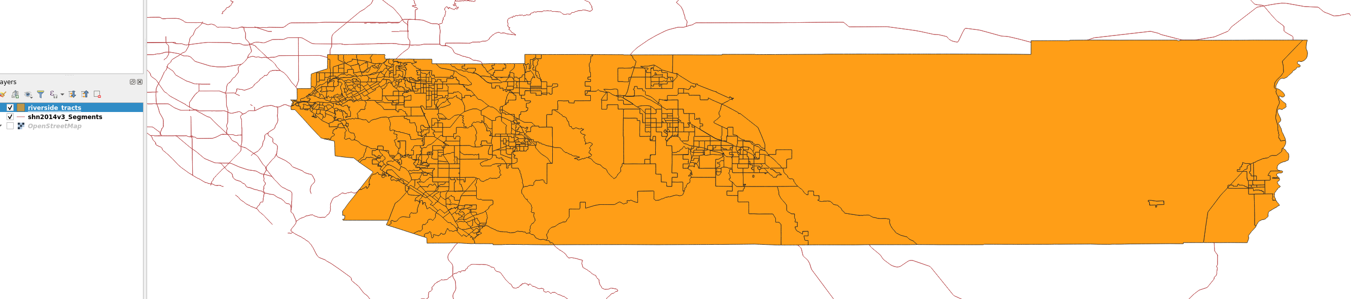
Replication for Riverside County
- goal is to detect which tracts intersect highway buffer
- estimate populations inside buffer
- (exercise 4)
Data
- State highway layer
- Riverside County tracts
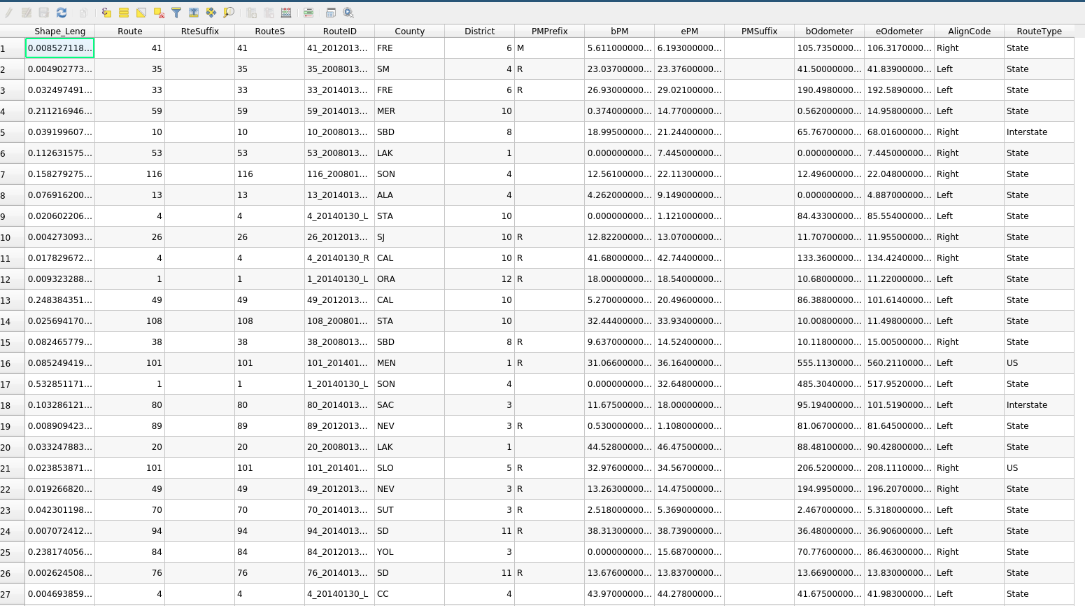
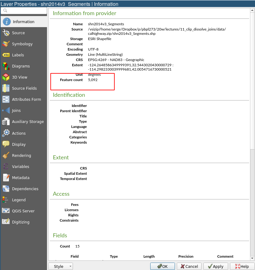
Highway Layer [url]
Clipping
Highway Layer [url]
Issue
- We don’t need the entire state network
- Only segments in Riverside County
- Efficient: replicate for all counties
- Divide and conquer
Clipping
- Need a layer that has the clipping polygon
- Apply to segment layer
Clipping polygon
- Dissolve Riverside tracts
Clipping
Spatial Joins
Spatial Joins
- Add additional attributes to layer based on spatial relations with other layer
- e.g. assign tract poverty rate to houses in each tract (hedonic modeling)
- e.g. dummy variable for tracts intersecting road buffer
Segments and Tracts
- One tract can intersect more than one segment
- Not what we want
Fix: Buffer
- Buffer segments
- Creates polygons
Problem with CRS
Change CRS
Buffer Again
Remember Dissolve?
Next Up
- OpenStreetMap

GIS for Public Policy’20 by Sergio Rey is licensed under a Creative Commons Attribution-ShareAlike 4.0 International License.