Geographic Information Systems for Public Policy - Lecture IX
Creating and Fixing Vector Data
Sergio Rey
Last Time
- Working with Vector Data
- Symbology
- Classifying Vector Data
- Color
Today
- Detecting Geometry Problems
- Understanding Geometry Problems
- Fixing Geometry Problems
Detecting Geometry Problems
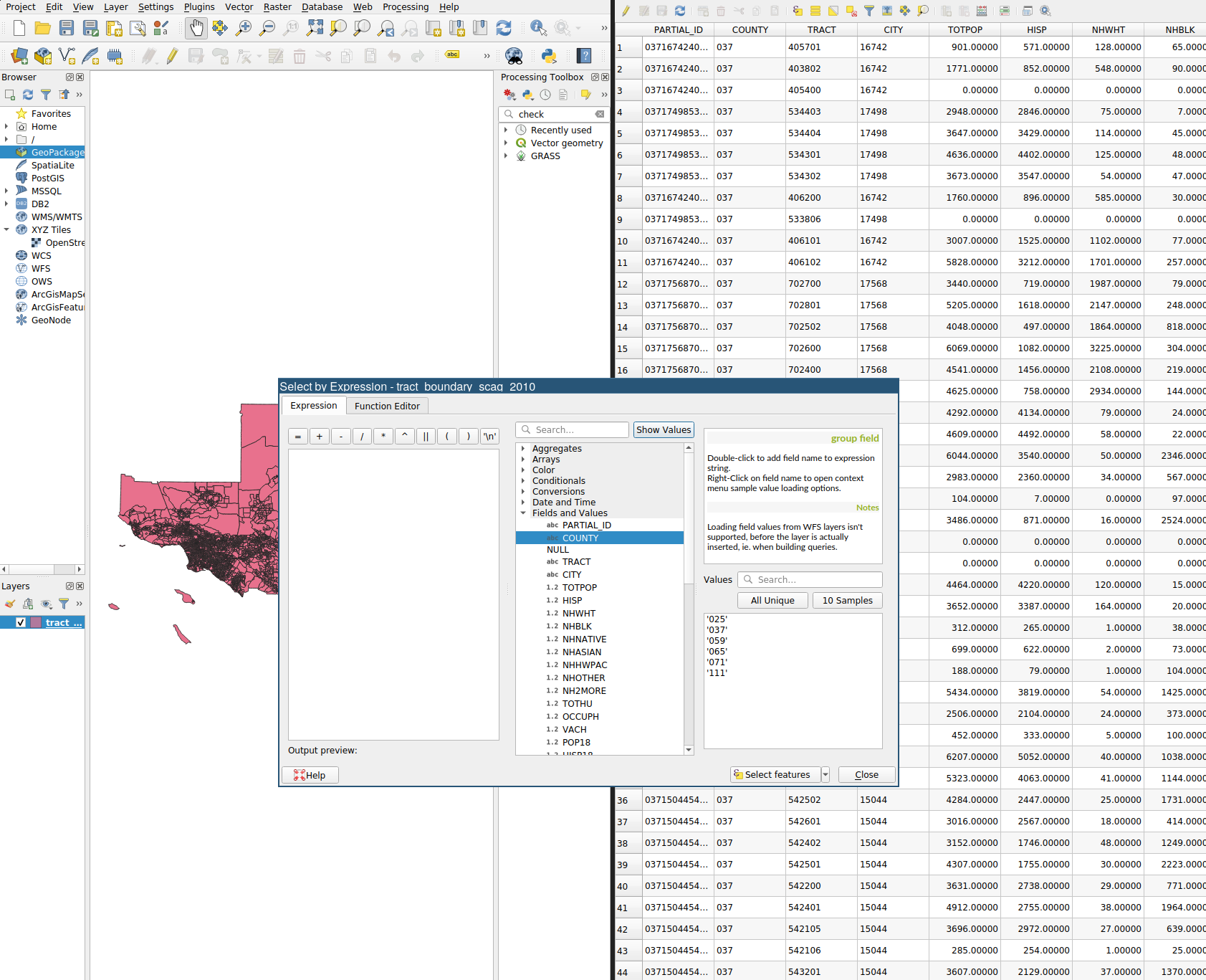
SCAG Shapefile (Exer 2)
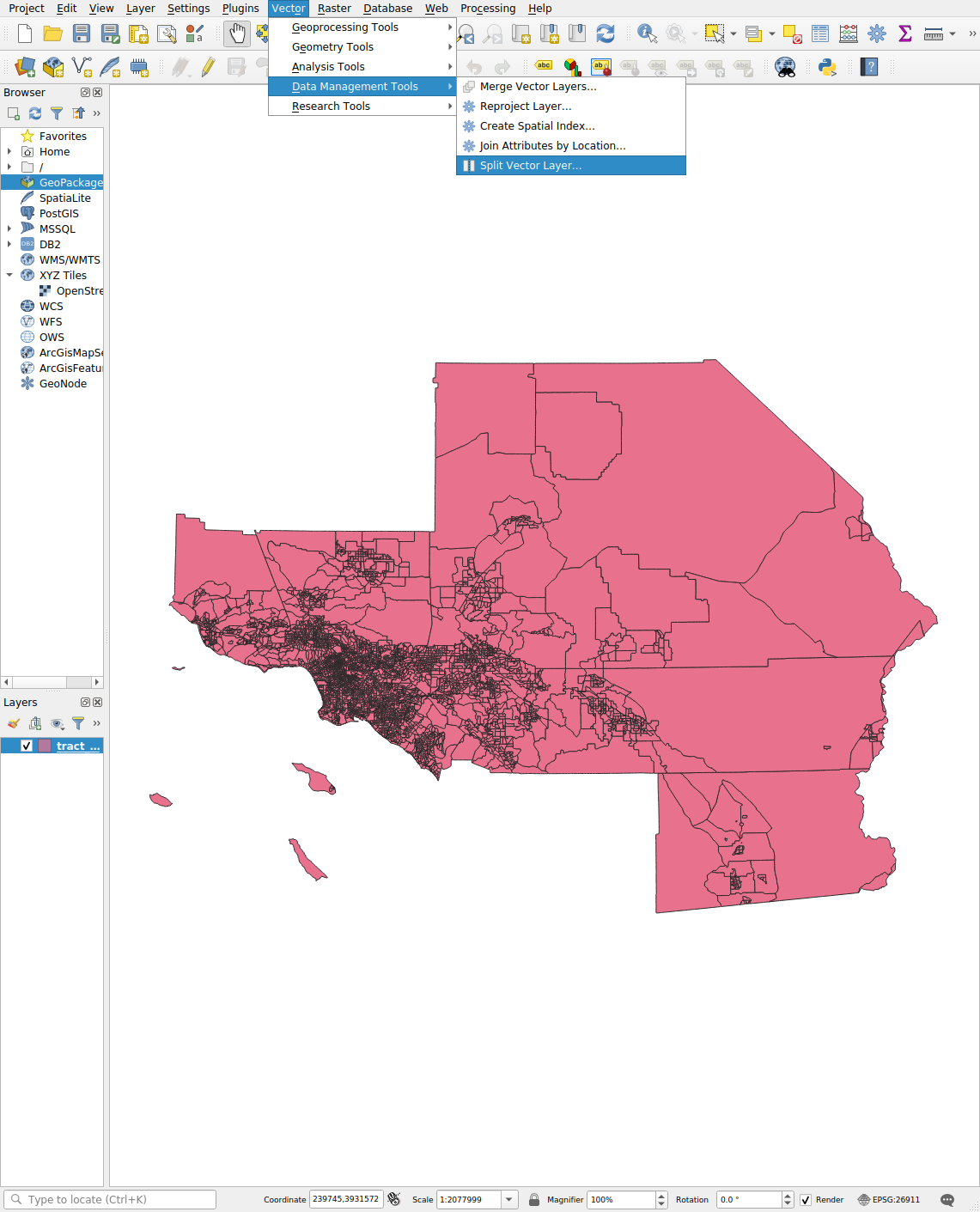
Splitting by Attribute
Splitting by Attribute: Menu
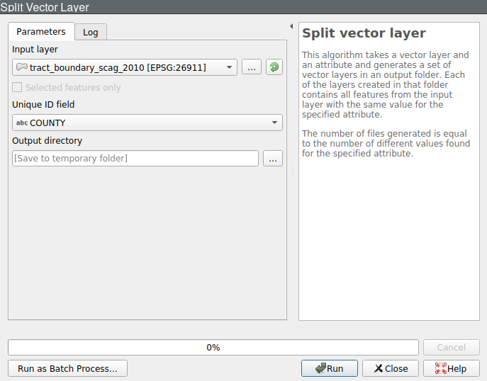
Splitting by Attribute: Dialog
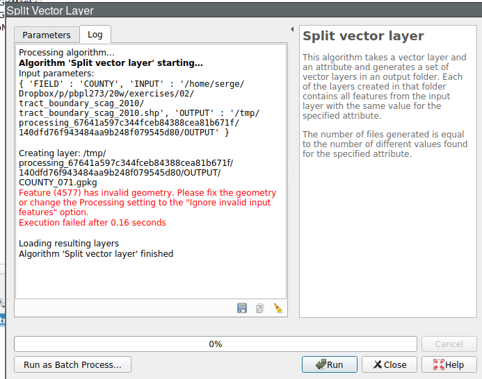
Splitting by Attribute: Error
Processing Toolbox
- GUI for Processing
- Native and 3rd Party GIS Algorithms
- Organized by Provider
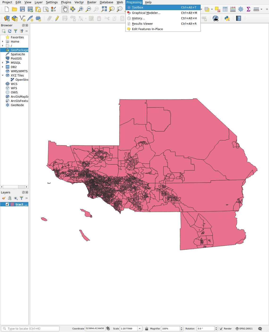
Processing Toolbox Menu
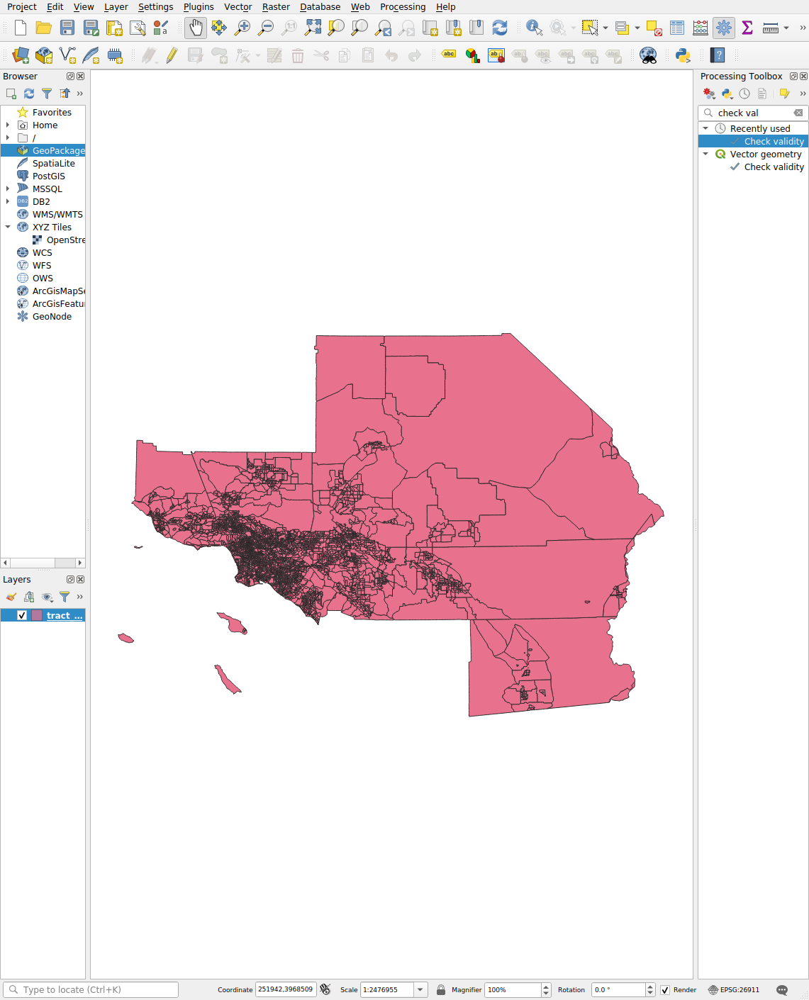
Processing Toolbox Search
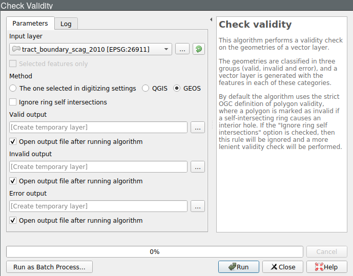
Check Geometry Validity
Check Geometry Results
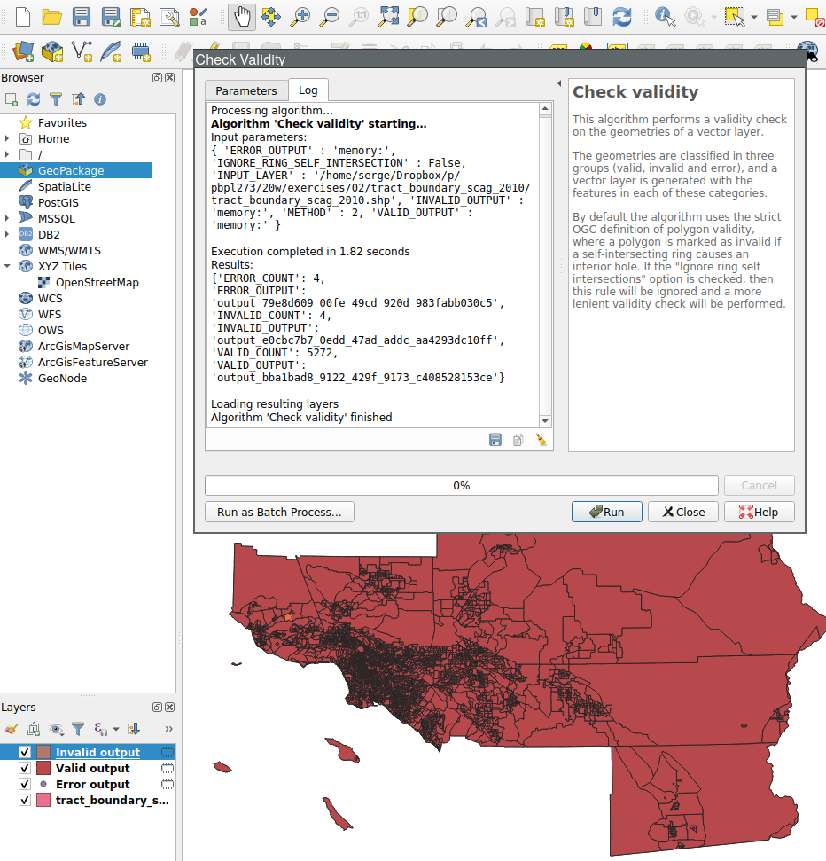
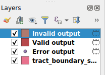
Check Geometry New Layers
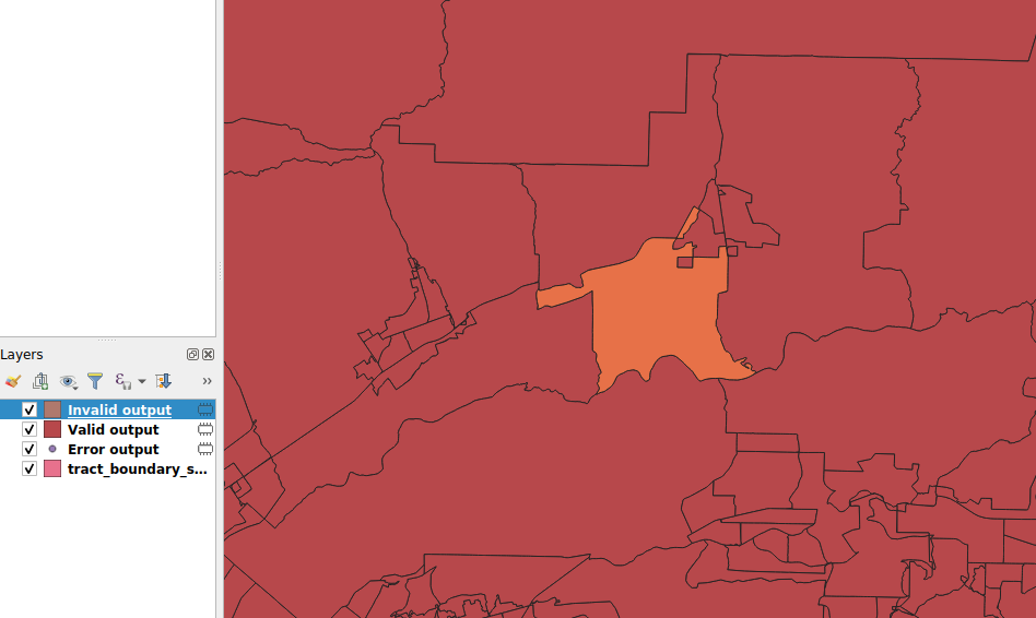
Check Geometry Canvas
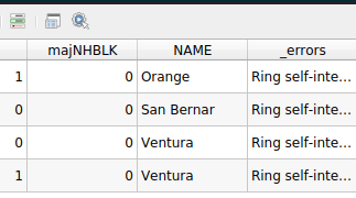
Invalid Ouptut Layer Table
Understanding Geometry Problems
Self-intersecting Ring
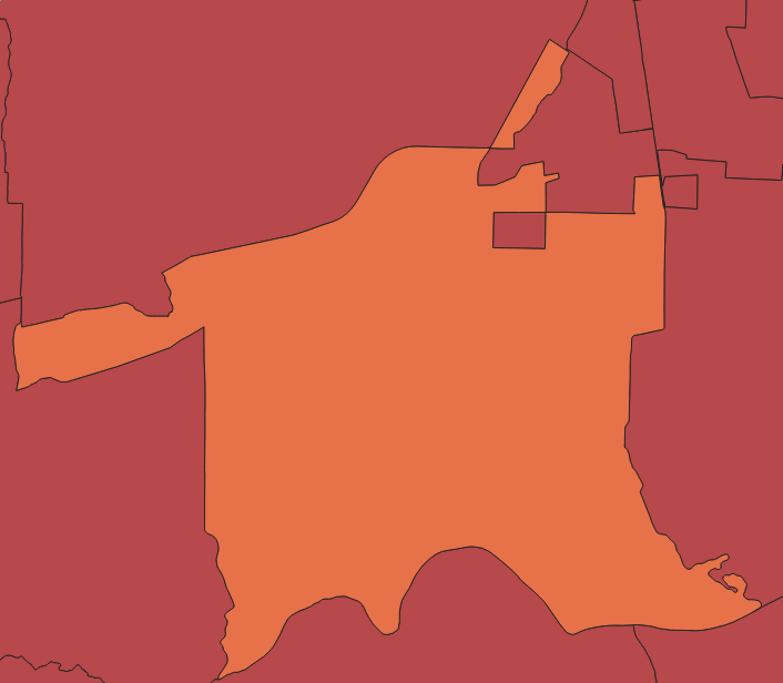
Self-intersecting Ring
- Problem with area calculations
- Other GIS operations
Polygon Area
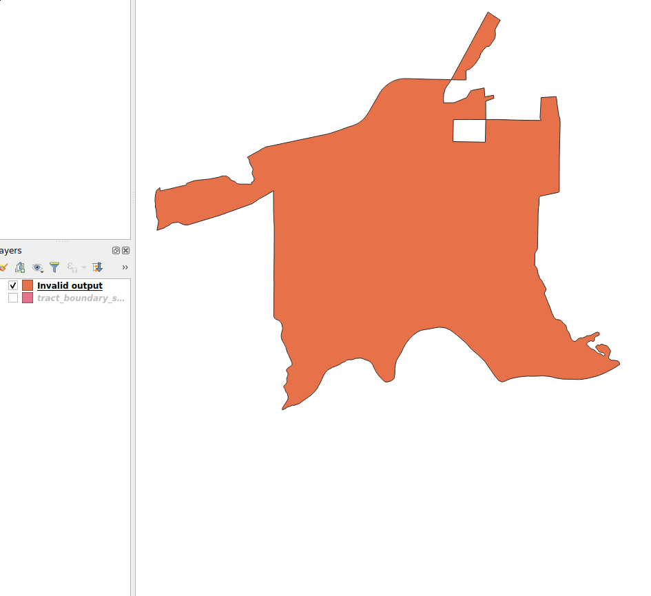
Fixing Geometry Problems
Remove Other Layers
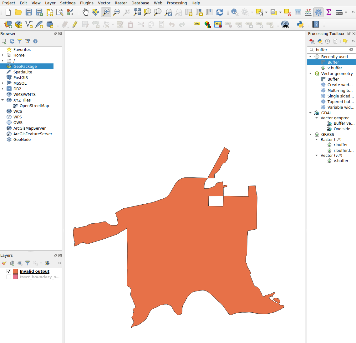
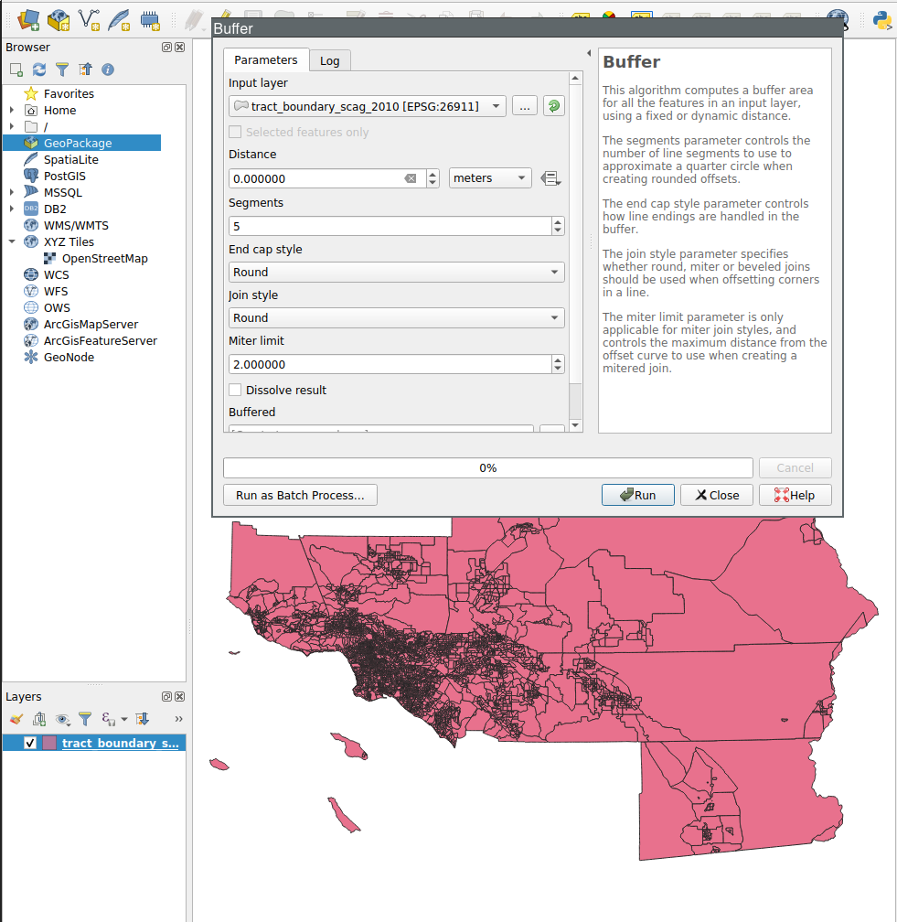
Search for Buffer
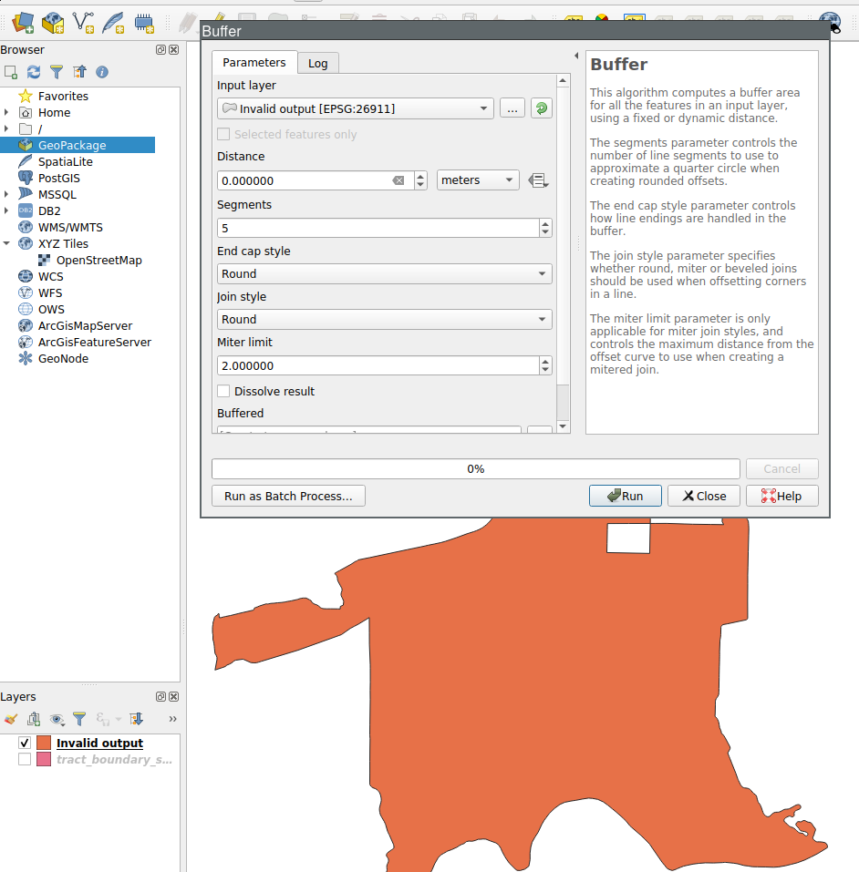
Buffer Dialog: Set Distance=0
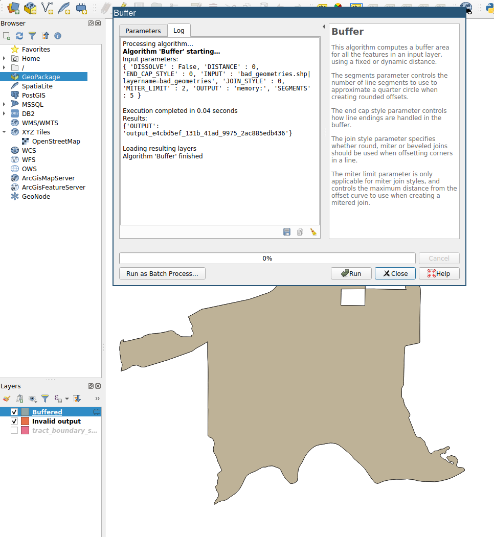
Buffer Log
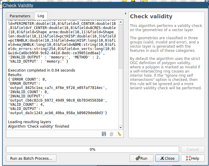
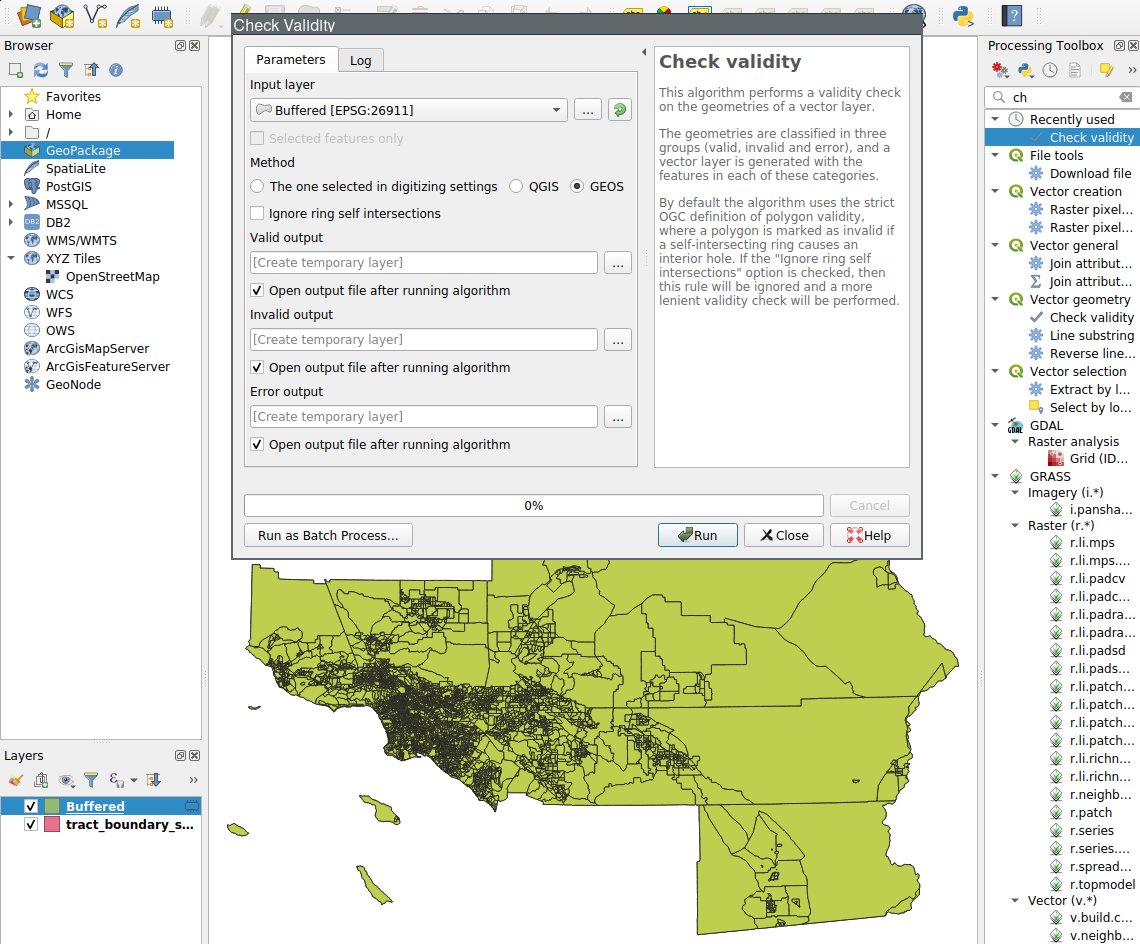
Check Validity of Buffered Layer
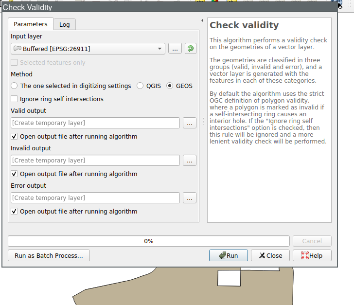
Check Validity of Buffered Layer
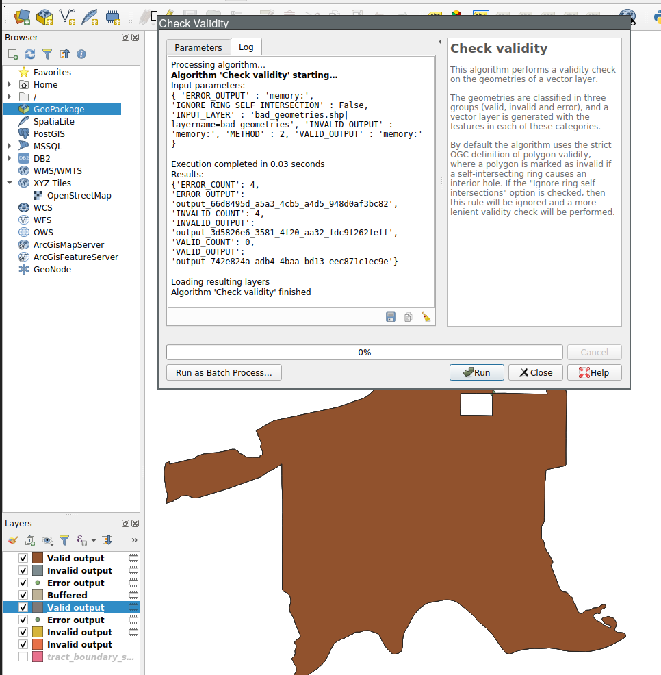
Check Validity of Invalid Output
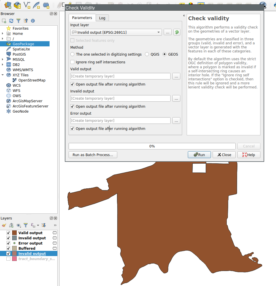
Check Validity of Invalid Output
Split by Attribute Revisited
Back to original tract layer
Buffer the original tract layer
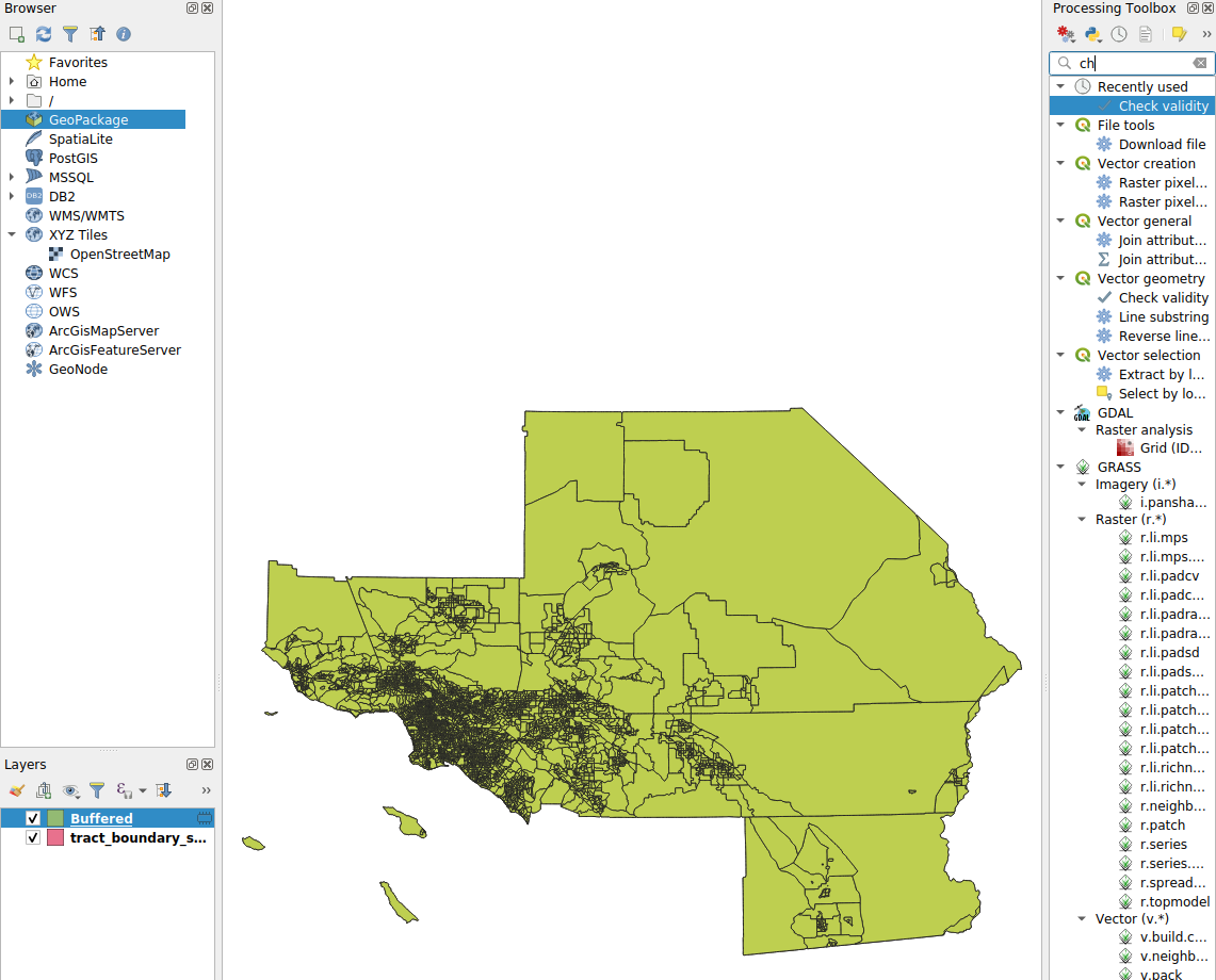
New Buffered Layer
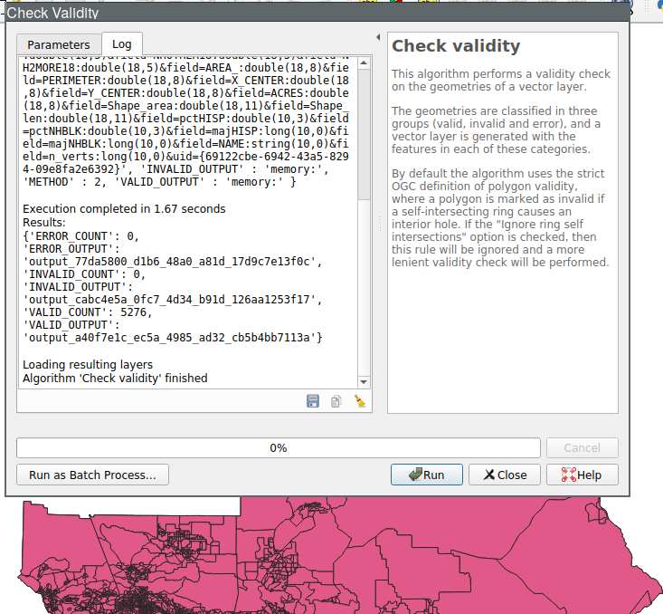
Check Validity of Buffered
Check Validity of Buffered
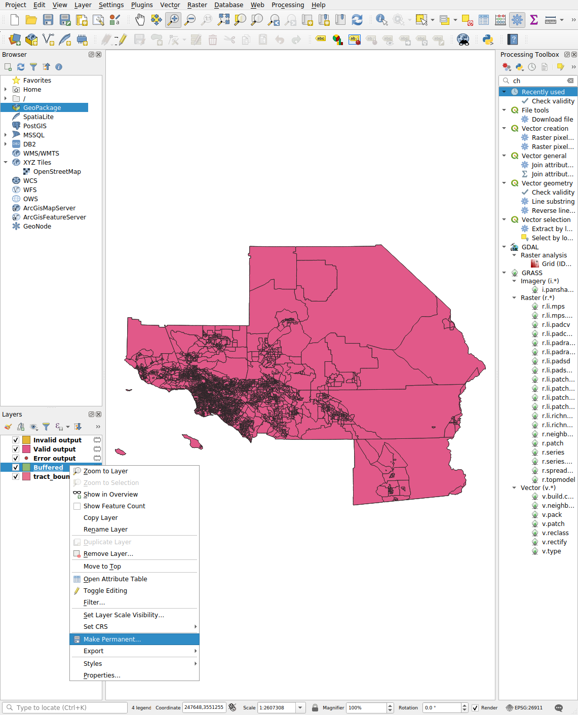
Make Layer Permanent
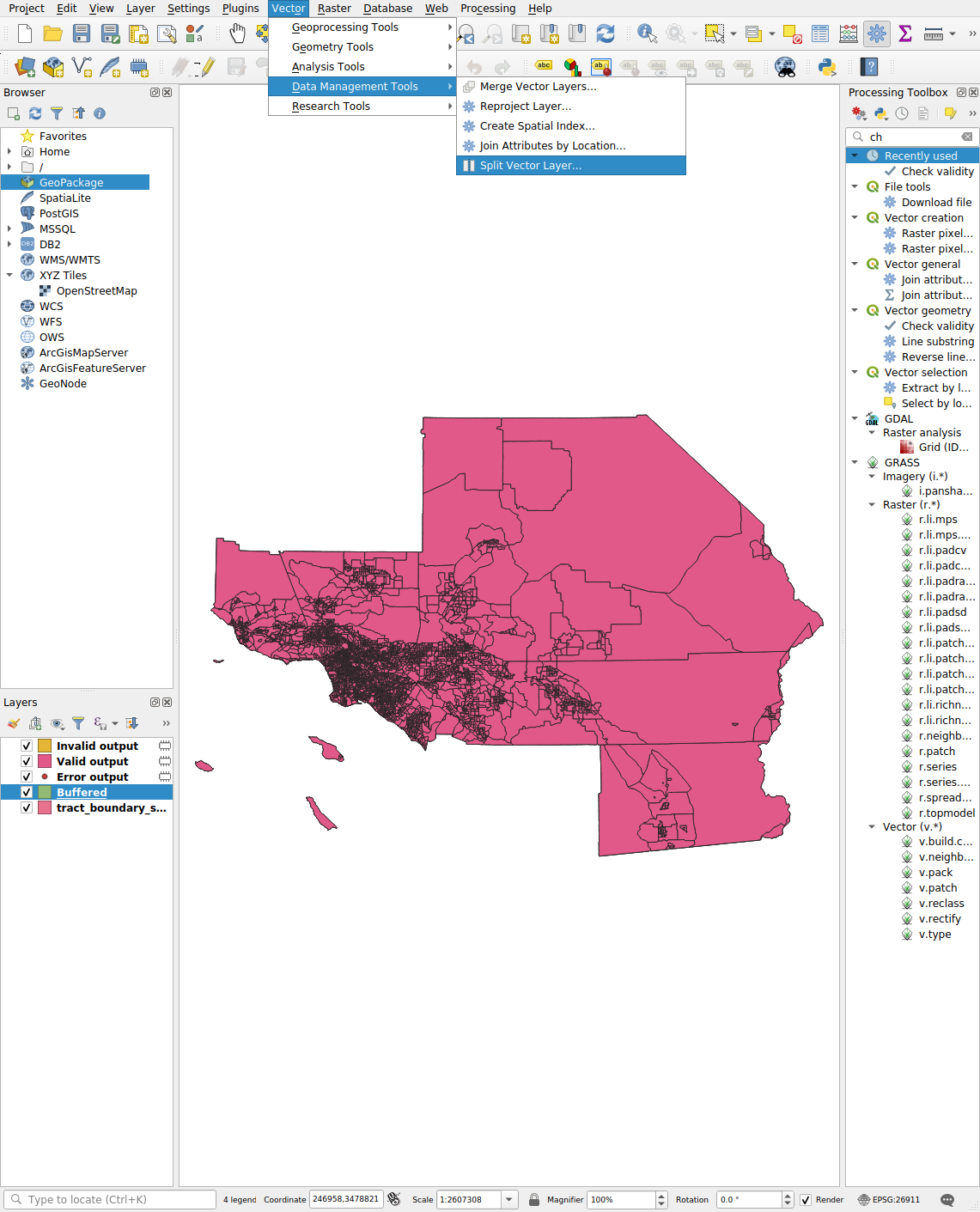
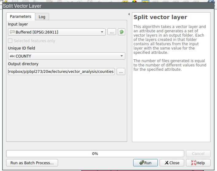
Split Vector Layer
Split Vector Layer: Set Output Directory
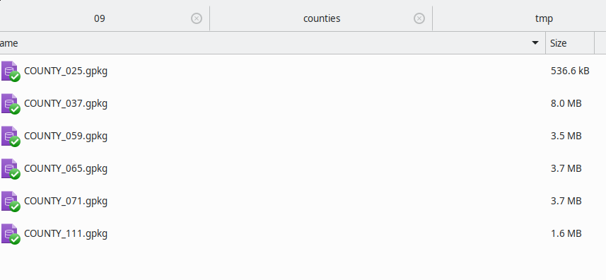
Split Vector Layer Results
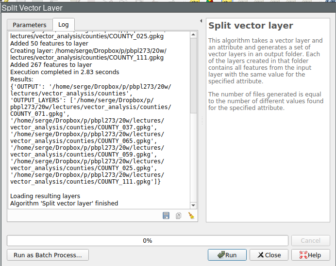
Split Vector Layer Results
Next Up
- Vector Analysis

GIS for Public Policy’20 by Sergio Rey is licensed under a Creative Commons Attribution-ShareAlike 4.0 International License.