Geographic Information Systems for Public Policy - Lecture III
Data Models
Sergio Rey
Last Time
- Open Source/Science/Education
- Introduction to QGIS
Today
- (Spatial) Data
- GIS Data Models
- Vector Model
(Spatial) Data
What is Data?

[Source]
Spatial Data
- Also known as geospatial data
- Observation that identify the geographic locations of
- features on the Earth
- boundaries on the Earth
- Stored as coordinates and topology
- 80-100% of all data have a geographical component (Cressie 1993)
Types of Spatial Data
- Point Pattern Data
- Geostatistical Data
- Lattice (Polygon) Data
- Network Data
- Spatial Interaction Data
Digital Data
In order to encode spatial data, we need a conceptual view that can form the basis for a data model.
By encode, we mean turn data as observations into digital data that can be used in a GISystem
Representation
Two key views of geospatial reality are the:
- object view
- field views
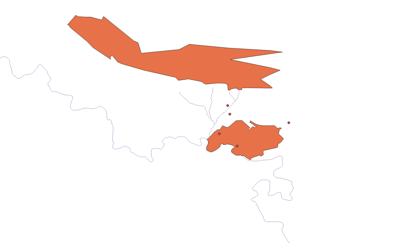
Object View
- the world is viewed as a set of discrete spatial objects (entities)
- can take different forms
- points: location of a traffic accident
- lines: stream segment/river segment
- areas/polygons: Riverside County
Object View
Field View
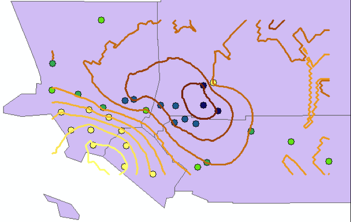
- geography seen as a collection of continuous variables
- phenomena could be measured everywhere (at any point in space)
- ex: air pollution, elevation, precipitation
Field View
GIS Data Models
GIS Data Models
- Vector Data Model (Today)
- Raster Data Model (Future)
Vector Data Model
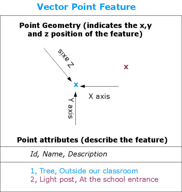
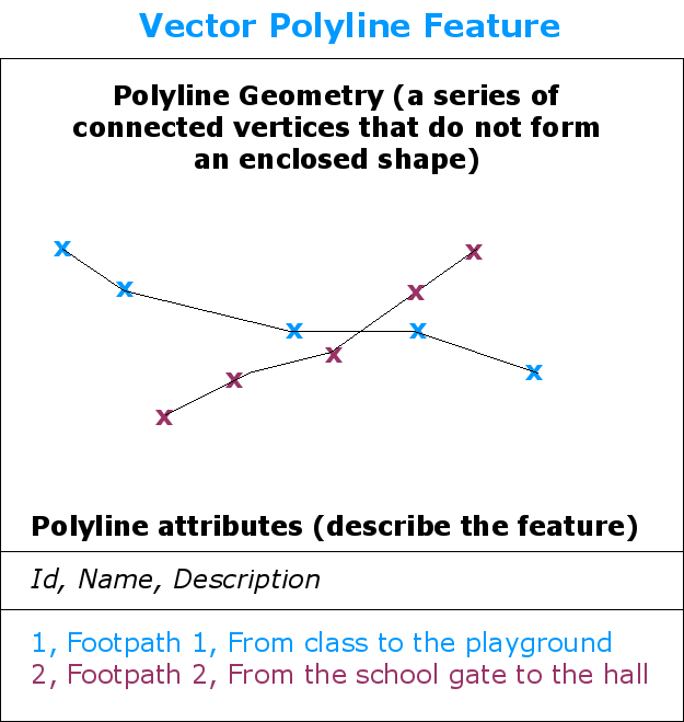
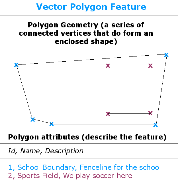
- Each discrete object is considered to be a feature
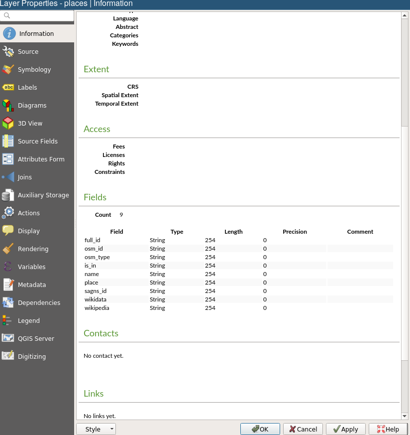
- Vector features have attributes, which consist of text or numerical information that describe the features
- A vector feature has its shape represented using geometry
- The geometry is made up of one or more interconnected vertices
Vector Geometry
- The geometry is made up of one or more interconnected vertices
- A vertex describes a position in space using an X, Y and optionally Z axis.
- Geometries which have vertices with a Z axis are often referred to as 2.5D since they describe height or depth at each vertex, but not both.
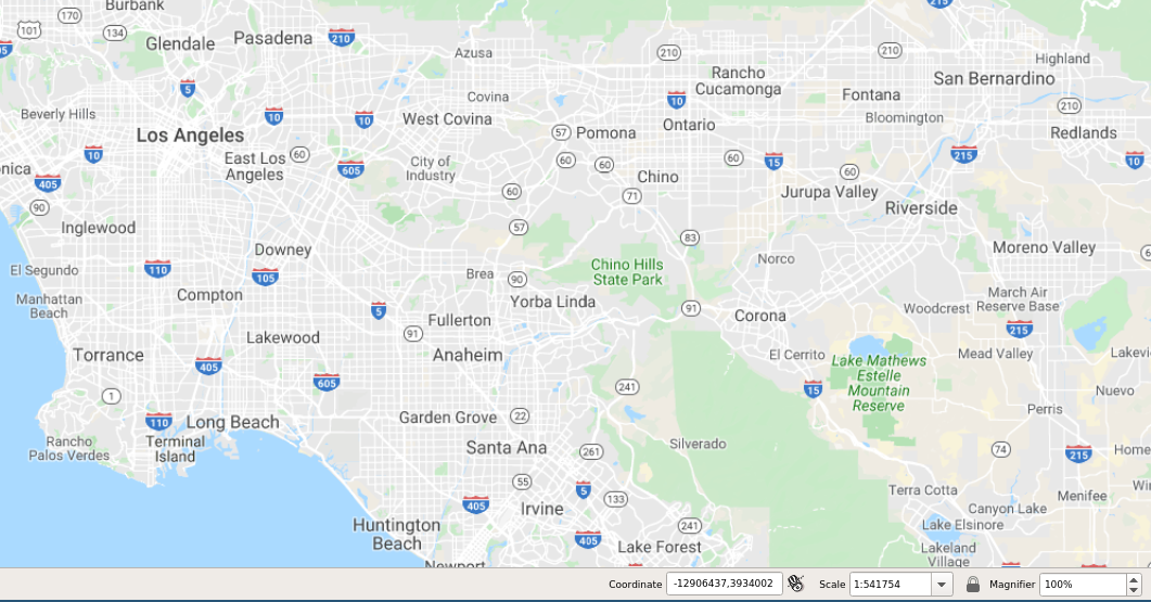
Scale and Representation
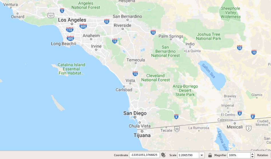
Scale and Representation
Vector Attributes
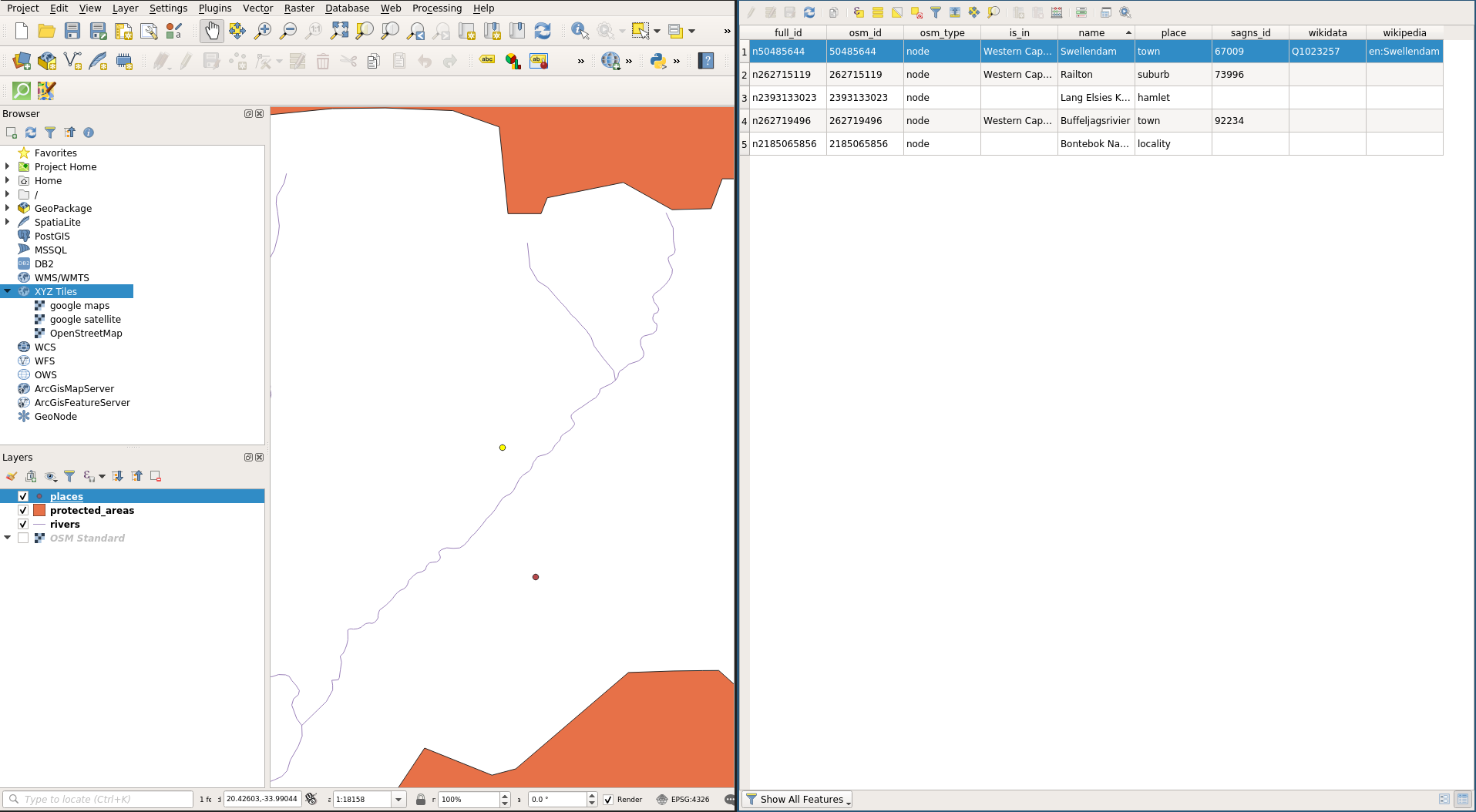
Attribute Properties
Issues with Vector Data
- slivers
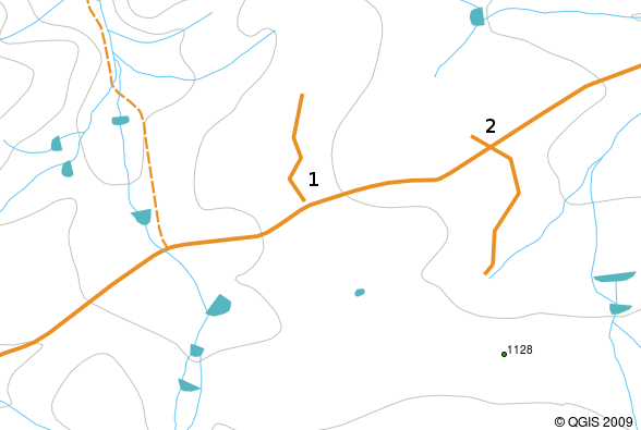
- under and overshoots
- topological errors
Slivers

Under and overshoots
Next Up
- Vector Tables
- Queries

GIS for Public Policy’20 by Sergio Rey is licensed under a Creative Commons Attribution-ShareAlike 4.0 International License.